Introduction to Mapping with QGIS – 2026
120,00 €
Overview
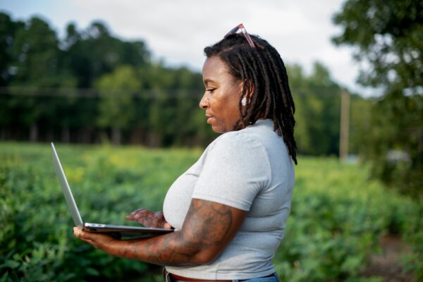
This course provides a practical, hands-on introduction to QGIS and is designed for professionals who want to integrate mapping into their work but are unsure where to begin. Whether you work in humanitarian action, development cooperation, environmental protection, or another data-driven field, the ability to work confidently with spatial data is becoming an increasingly valuable skill.
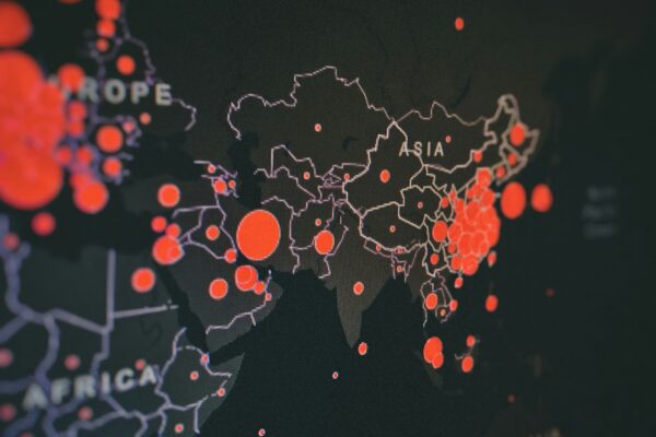
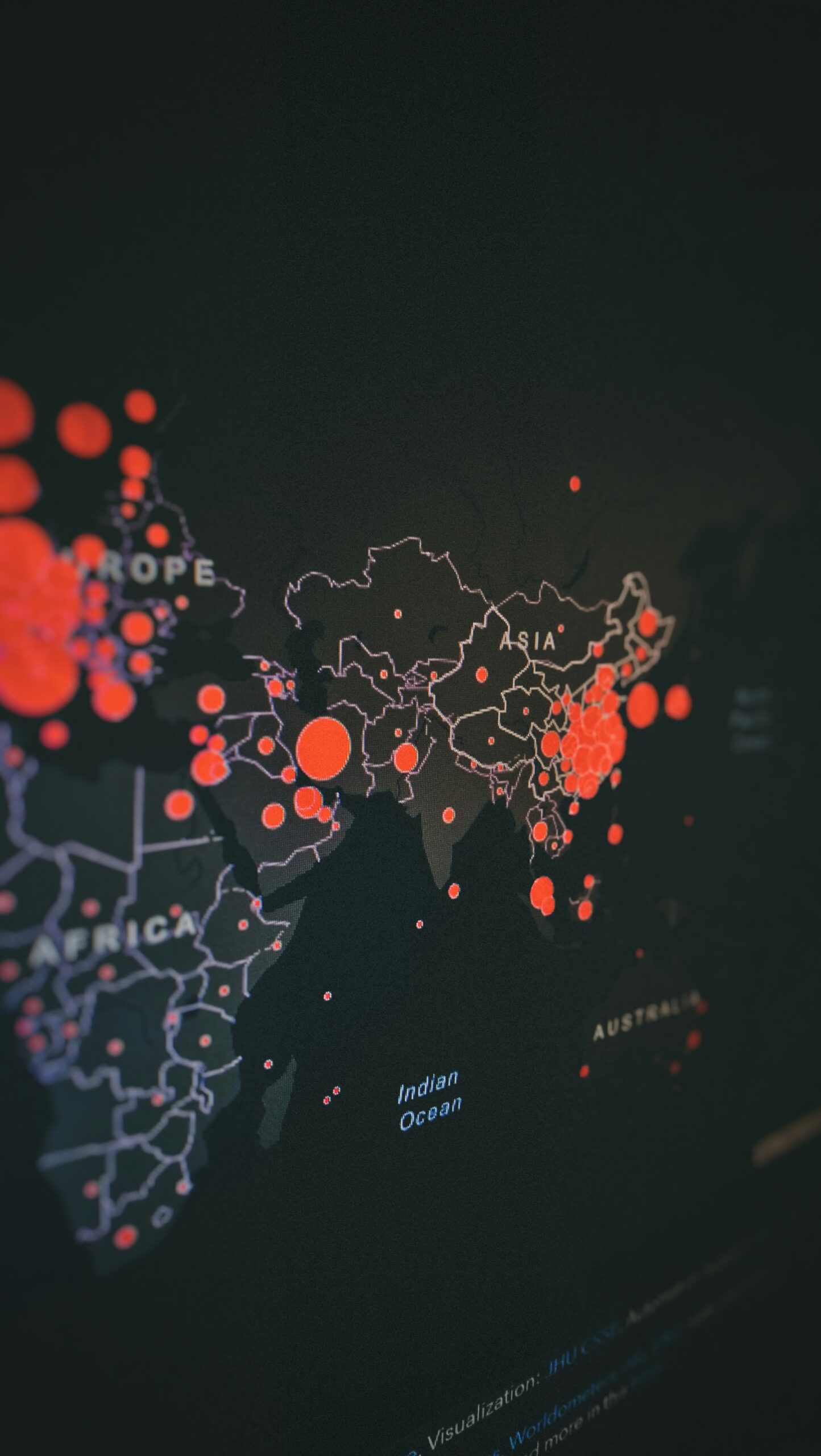
While data analysis plays a growing role across sectors, many professionals lack a clear understanding of how data can be effectively structured, interpreted, and visualized. Mapping geospatial data is a crucial first step in making complex patterns and relationships visible and in supporting evidence-based decision-making.
In this introductory training, you will gain a solid foundation in QGIS. You will learn core mapping concepts, work with accessible geospatial datasets, and develop an understanding of how professional maps are designed and applied in real-world contexts. By the end of the course, you will be able to work with maps independently and confidently, and to use QGIS as a practical and powerful tool in your professional work.
Please find further information regarding content below under “student schedule”.
You will learn
- To identify which types of data can be meaningfully displayed on a map and where to find relevant geospatial data sources.
- To import, display, and edit geospatial data in QGIS.
- To apply simple styling techniques to emphasize key information and create clear, readable maps.
Downloads
Lecturers

Danielle Kitchingman-Roy
Danielle Kitchingman-Roy is an independent evaluator, facilitator, and QGIS trainer with over a decade of experience supporting humanitarian and development actors worldwide. Based in France, she works bilingually in English and French and brings a hands-on, participatory, and people-first approach to learning, research, and strategy.
Her areas of expertise include qualitative evaluations, learning processes, capacity building, and data visualization. Danielle has worked across diverse contexts in more than ten countries, including Afghanistan, Haiti, Iraq, Niger, and South Sudan. She has partnered with a wide range of organizations such as UNICEF, IOM, Expertise France, ActionAid, and the Danish Refugee Council.
Danielle is committed to making data meaningful and accessible—whether through clear and engaging reporting, powerful maps, or collaborative workshops that center lived experience. She is passionate about using evidence and dialogue to support change and to amplify the voices of those most affected by programs and policies
Provider
Advice & contact